
ITSS Geodatabase in Progress
At IN THE SAME SEA, work continues on our database of over 7000 fugitives from slavery in the eastern Caribbean, using records of escapes/captures published in historical local newspapers. Now, the last modifications of the geodatabase and the geolocations are being done by Patrik Karlsson Nyed.
The location of an escape or capture in the database is commonly quite generic/imprecise, referring mostly to an entire island/territory. In GIS, during the conversion of the written generic locations to points, the points typically end up at the center of an island (the centroid), where the points all will overlap with each other. This overlap is not ideal, since some islands have hundreds of escapes, sometimes occurring very close in time. As a first solution, the points were therefore spread randomly across its island/territory (see fig. 1).
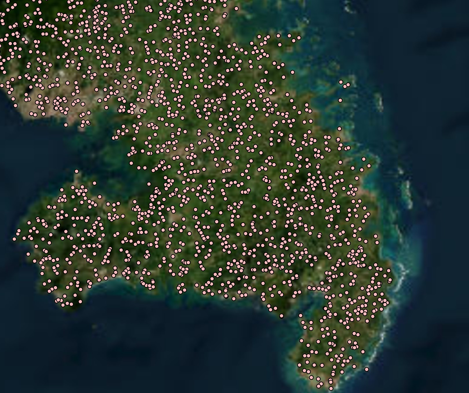 Fig. 1. Example of randomly generated point locations of escapes/captures on an island.
However, this gave the impression that the locations of the points were accurate (or historically 'real'), when in fact the precise locations were unknown. So, instead it was decided to spread out the overlapping point locations in a more orderly manner, which would not give the (wrong) impression that the point locations were precise (see fig. 2).
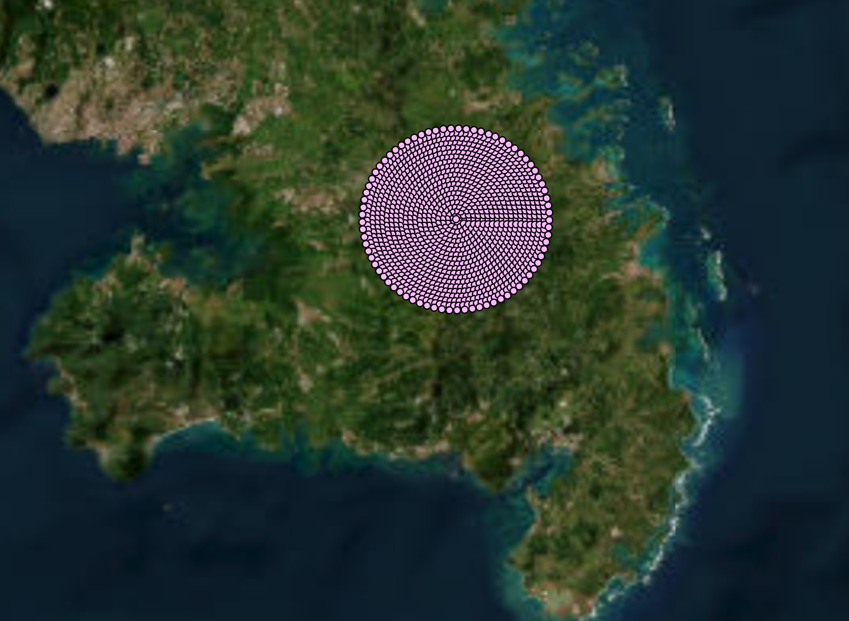 Fig. 2. Example of point locations of escapes/captures on an island, generated as structured rings.
In the next phase, the geodata will be transferred over to the web for the development of the user interface of the final output – a webGIS application. Watch this space for more news!