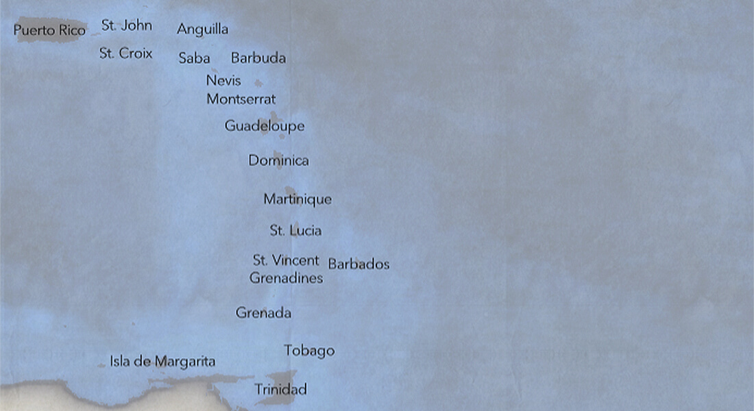
Maps of the Lesser Antilles
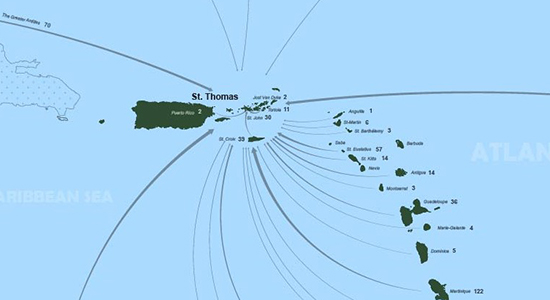
Enslaved fugitives of the Lesser Antilles
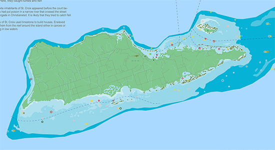
Enslaved people escaped their enslavers from the very beginning of slavery to its gradual demise during the nineteenth century. Visit this interactive map to glean information about nearly 7,000 enslaved fugitives across the Lesser Antilles, 1760 - 1860.
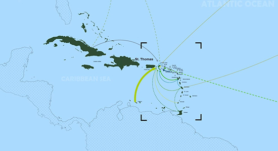
Maritime resources
People of the Lesser Antilles lived with and from the sea. Enslaved, freed and free people turned to the sea to find resources in islands that were often marked by overexploitation of land resources. Fishing, turtling, coral harvesting and other maritime activities therefore became central to island existence.
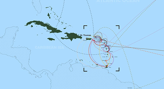
Migration
People of the Lesser Antilles moved between islands. Their movements and connections across imperial borders and island-shores created a shared world defined by slavery and freedom.